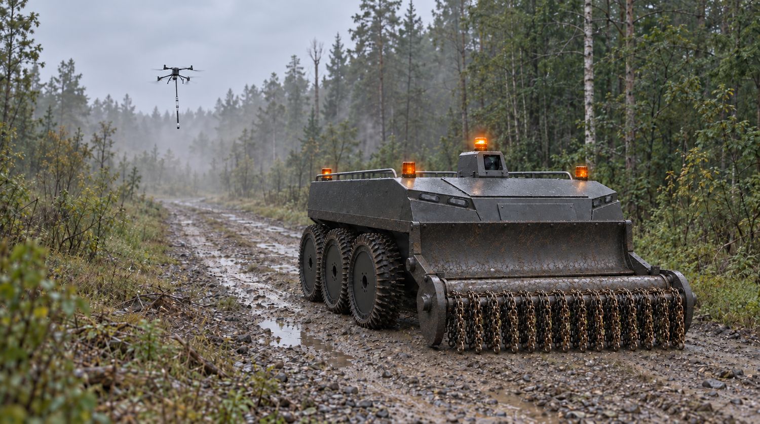
Humanitarian demining
Survey first,
then work
An aircraft surveys the plot and builds a map of objects that require separate handling. The ground machine works to that map and drives around what is marked.
An aircraft surveys the plot and builds a map of objects that require separate handling. The ground machine works to that map and drives around what is marked.
Two methods, and both are applied blind.
Manual clearance — a deminer with a detector, metre by metre. The most reliable method and the most expensive: output is measured in tens of square metres per person per day.
Mechanical clearance — a machine works the plot in a continuous pass. Hundreds of times faster, but it does not know what is underneath it.
What both share is this: before work starts, nobody knows what is actually on the plot or which part of it genuinely requires clearance.
So resources are allocated blind. Expensive manual labour goes where a machine would have sufficed, and the machine drives onto an object it cannot survive.
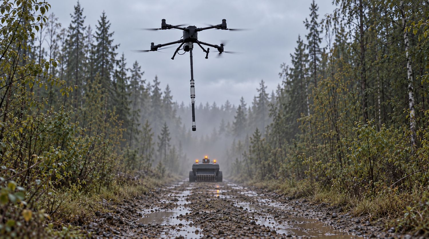
A division of labour between the aerial and ground layers.
The aircraft surveys the plot and builds a map: where the objects requiring separate handling lie.
The ground machine works mechanically where the map says it is permissible — fast, in a continuous pass.
Marked objects are dealt with individually, by separate means.
Manual clearance remains only where it is genuinely needed.
Every metre is handled by the means it calls for. Expensive resources are not spent where cheap ones will do.
The aerial survey does not need to know what is buried. A threshold is enough.
The question is binary: is the object larger than what the ground machine can take, or not. The threshold is set by the rated tolerance of the clearance tool — a known, constant figure that depends neither on the soil nor on the type of ordnance.
Framing it that way removes the most expensive sensors from the set — ground-penetrating radar and multi-channel arrays. What remains is airborne magnetic gradiometry, which is a different order of equipment cost and a different survey rate.
The map the aircraft builds becomes the route for the ground machine directly.
Data is not transferred by hand and not processed between callouts. The aircraft covers the plot, the machine drives the finished map with its marks. Both have the same operator.
The aircraft launches from the ground machine, lands on it and charges from it. The crew does not transport it separately, does not look for a launch site and does not break off the survey to swap batteries.
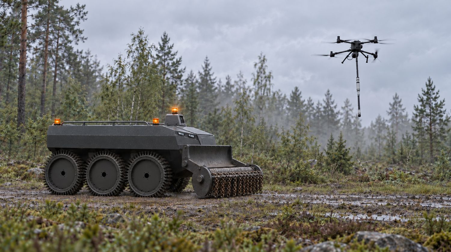
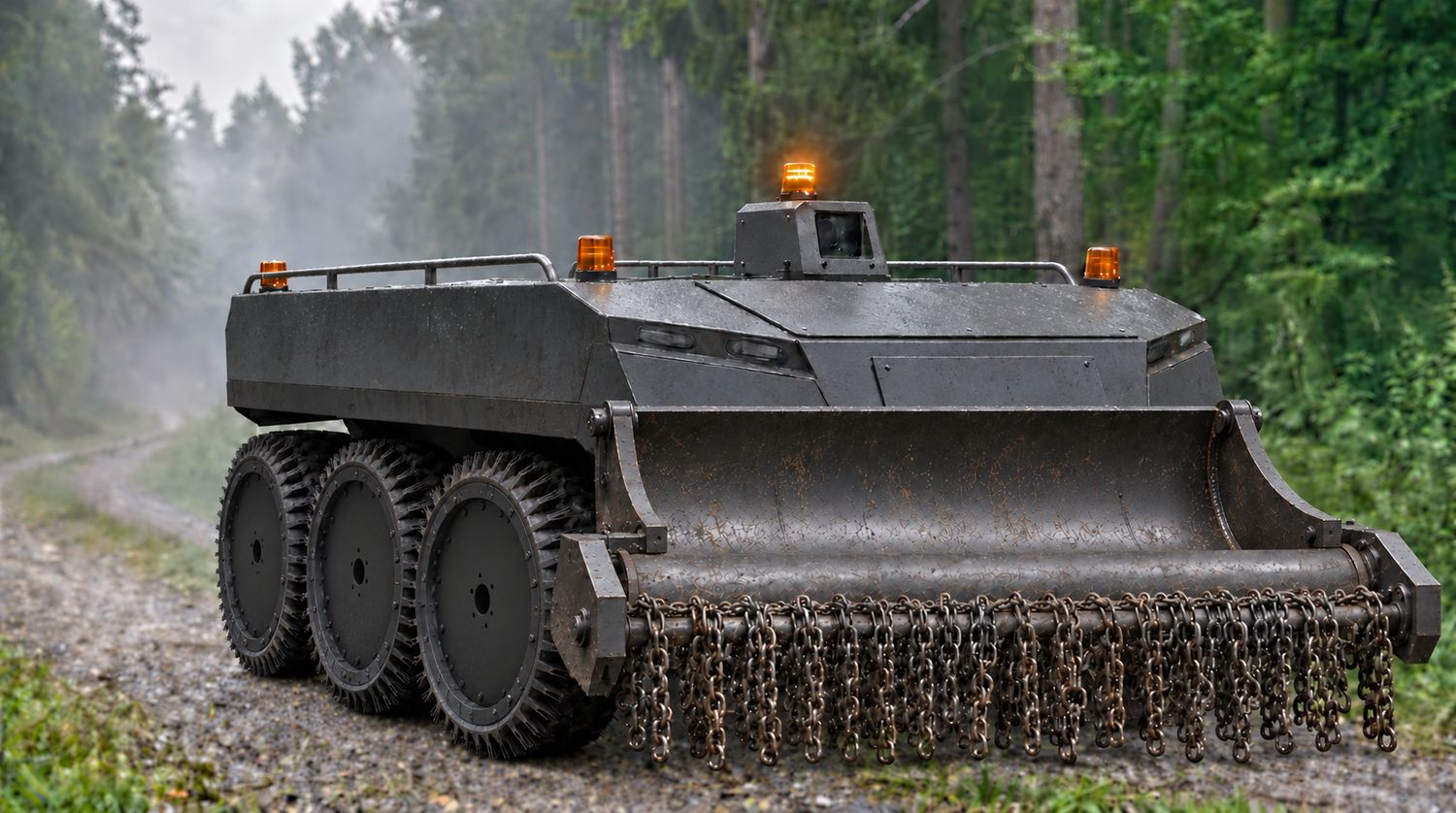
The operator works at a distance of up to five kilometres. Nobody stands near the charge.
Control is remote and the operator sees the scene through cameras. On loss of link the machine returns to its start point, stops or continues the task, at the operator’s prior choice.
The front power interface is tied into the load-bearing frame and drives the rotor. Gross weight of 1.5 t holds the machine steady against the reaction of the chains, and six driven wheels give an even advance at the low speed clearance runs at. The clearance tool itself is supplied by a partner.
Every pass is recorded: position, line spacing, height, speed and sensor health.
The operator receives a coverage map — a document showing which part of the plot was surveyed, at what spacing and with the equipment in what condition. The record format is open and is handed over with the equipment.
Under the international mine action standards, this is precisely the evidence required for reduction of area following technical survey. That is the economic result of the method: the plot facing expensive manual clearance shrinks to the part where it is genuinely required.